West Ashley, Charleston, SC
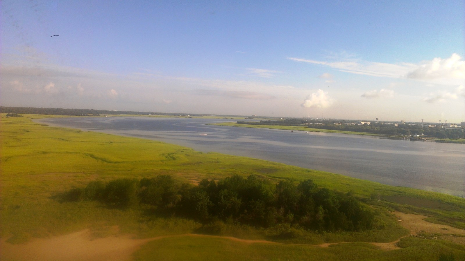

What West Ashley is actually like
West Ashley takes its name from simple geography -- it's everything on the west bank of the Ashley River -- but the area is also, unexpectedly, where Charleston itself began. English colonists under Governor William Sayle landed at Albemarle Point on that west bank in April 1670 and planted the first permanent English settlement in the Carolina colony there, a decade before the town relocated across the river to Oyster Point on the peninsula in 1680. The 663-acre Albemarle Point site is preserved today as Charles Towne Landing State Historic Site (Wikipedia). For roughly the next two and a half centuries, the land across the river stayed what it started as -- plantation and farm country, not suburb.
That changed with a bridge. The Ashley River Memorial Bridge opened to the public in January 1926, built at a cost of $1.25 million and dedicated to South Carolinians killed in World War I -- the first fixed span linking the peninsula to the land across the Ashley (Post and Courier). West Ashley's first subdivisions went up in the postwar 1950s (Wikipedia), and the new commuter traffic grew heavy enough that a second, parallel drawbridge -- the T. Allen Legare Bridge -- opened in 1961 just to keep pace; it now carries roughly 79,000 vehicles a day (SC Picture Project, Post and Courier). West Ashley never incorporated on its own -- most of it was annexed into the City of Charleston itself rather than becoming a separate municipality, with a handful of unincorporated pockets served by the Saint Andrews Public Service District (Wikipedia).
The City of Charleston's own 2025 estimate puts West Ashley's population at 71,854, up from 67,873 at the 2020 Census -- more than any of the city's other four planning areas: the historic peninsula (36,942), James Island (22,001), Daniel Island/Cainhoy (19,702), and Johns Island (14,819) (City of Charleston). It spans roughly 56.4 square miles across ZIP codes 29407 and 29414 (Charleston Property), a footprint that runs from the close-in postwar streets near the twin Ashley River bridges out to newer subdivisions pushing toward the Stono River.
Home values in West Ashley
RealtyTrac's market data puts West Ashley's two ZIP codes on noticeably different footing as of July 2026. ZIP 29407, the older, closer-in half nearer the bridges, had a median listing price of $640,000 (up 1.67% year-over-year) and a median SOLD price of $536,100 (up 3.41%). ZIP 29414, covering the newer growth farther west, had a median listing price of $489,000 (up 1.90%) and a median SOLD price of $434,100 -- down 7.70% year-over-year (RealtyTrac, RealtyTrac). Walk Score rates its West Ashley neighborhood at 55, "Somewhat Walkable" -- above Charleston's citywide average of 40, though well short of the peninsula's 93 (Walk Score). South Carolina taxes an owner-occupied primary residence at a 4% assessment ratio and everything else -- second homes, rentals, most LLC-owned property -- at 6%; every property defaults to the 6% rate when it changes hands, and a new owner has to file for the legal-residence exemption to get to 4% (Nat Wallen). That assessed value is then multiplied by the local millage rate rather than a flat statewide percentage; South Carolina's statewide average effective property tax rate on owner-occupied housing is 0.49%, alongside a 6.00% state sales tax (7.49% average combined with local option taxes) and a graduated income tax topping out at 5.21% (Tax Foundation). Dominion Energy is the electric utility across West Ashley (Live 5 News); Charleston Water System handles water and sewer for most of the area, with the Saint Andrews Public Service District covering the remaining unincorporated pockets (Charleston Water System, Wikipedia).
Evenings and weekends
West Ashley's retail center is Citadel Mall, the region's largest indoor shopping mall (Wikipedia), and the West Ashley Greenway -- a roughly 10-mile paved trail built on a former rail corridor -- runs the length of the area for walking, running, and biking (Charleston Property). Three of the Charleston area's best-known historic sites sit inside West Ashley along Ashley River Road: Charles Towne Landing, the 1670 settlement site itself; Magnolia Plantation and Gardens; and Drayton Hall (Wikipedia, Charleston Property). Shadowmoss Plantation Golf Course anchors the outer part of West Ashley, near the flood-prone Church Creek basin discussed below (Charleston Property).
Getting around
West Ashley connects to downtown via two parallel drawbridges on US-17/Savannah Highway -- the 1926 Ashley River Memorial Bridge and the 1961 T. Allen Legare Bridge -- a road distance of roughly 9.8 miles (BikeHike, Post and Courier). Actual drive time depends heavily on which part of West Ashley you start from: close-in neighborhoods like Byrnes Downs, Avondale, and Orange Grove run about 20 minutes to downtown, while the far western sections near Bees Ferry Road and Carolina Bay can stretch past 45 minutes at rush hour (The Treat Team). CARTA runs regular bus routes through West Ashley, though not the free DASH trolley, which is peninsula-only. A $445 million Main Road Corridor project, under construction now and targeted for substantial completion in September 2028, is aimed directly at the rush-hour bottleneck between West Ashley and Johns Island (The Treat Team).
West Ashley FAQ
Is West Ashley walkable?
Not especially, though it varies by pocket -- Walk Score rates its West Ashley neighborhood at 55, "Somewhat Walkable," above Charleston's citywide average of 40 but well short of the peninsula's 93. CARTA runs regular bus routes through West Ashley; the free DASH trolley is peninsula-only.
How did West Ashley become Charleston's largest suburb?
The Ashley River Memorial Bridge opened in January 1926, the first fixed span connecting the area to the peninsula, and West Ashley's first subdivisions went up in the postwar 1950s. Traffic grew so much that a second, parallel span -- the T. Allen Legare Bridge -- opened in 1961 just to keep up; it now carries roughly 79,000 vehicles a day.
Does West Ashley flood?
Parts of it, yes -- the Church Creek drainage basin in outer West Ashley (the Shadowmoss and Hickory Farms area) floods because its sole outlet to the Ashley River is only about 10 feet wide and roughly 80% of the 5,000-acre basin is now paved or built on. The city has a $44 million fix under study, including a $26.6 million pump station; check FEMA flood maps for a specific address.
What's the deal with Charleston's 4% and 6% property tax rates?
South Carolina assesses an owner-occupied primary residence at 4% of its value and everything else -- second homes, rentals, most LLC-owned property -- at 6%. Every property defaults to the 6% rate when it changes hands; a new owner has to file for the legal-residence exemption to get to 4%.
How many people live in West Ashley?
The City of Charleston's own 2025 estimate puts West Ashley at 71,854 residents, up from 67,873 at the 2020 Census -- more than any of the city's other four planning areas, including the historic peninsula.
How far is West Ashley from downtown Charleston?
About 9.8 miles by road. Close-in sections like Byrnes Downs and Avondale run about 20 minutes to downtown; the far western reaches near Bees Ferry Road and Carolina Bay can stretch past 45 minutes at rush hour.
Nearby alternatives*We're not ranking these — every place has real trade-offs, and which ones matter is up to you.
Downtown Charleston
Across the Ashley River bridges -- Charleston's walkable historic core, with Rainbow Row, the Battery, and the peninsula's own tidal flood story.
James Island
South via the James Island Connector -- Fort Johnson here fired the first shots of the Civil War in 1861; the Town of James Island itself counted 11,621 residents at the 2020 Census, a small incorporated piece of a much larger, mostly Charleston-annexed island.
North Charleston
Up the peninsula via I-26 -- the MSA's most populous single city, anchored by the port, Joint Base Lindsey Graham, and Boeing's South Carolina campus.
See what makes Charleston stand out — verified, named medical, dietary, sports, and other specialty resources you won't find in most metros.
Explore Specialty Resources →