Downtown Charleston (French Quarter & South of Broad), Charleston, SC
.jpg)
What Downtown Charleston is actually like
Charleston exists because of a false start: English colonists under Governor William Sayle first settled "Charles Town" at Albemarle Point on the Ashley River in April 1670, laid out under the "Grand Model" plan the colony's Lords Proprietors commissioned from philosopher John Locke. That site proved indefensible and commercially awkward, so by 1672 a second settlement had taken root a few miles away at Oyster Point, where the Ashley and Cooper rivers meet -- and in 1680 that location formally became the town, growing fast enough to rank as the fifth-largest city in North America by the 1690s (South Carolina Historical Society, Wikipedia).
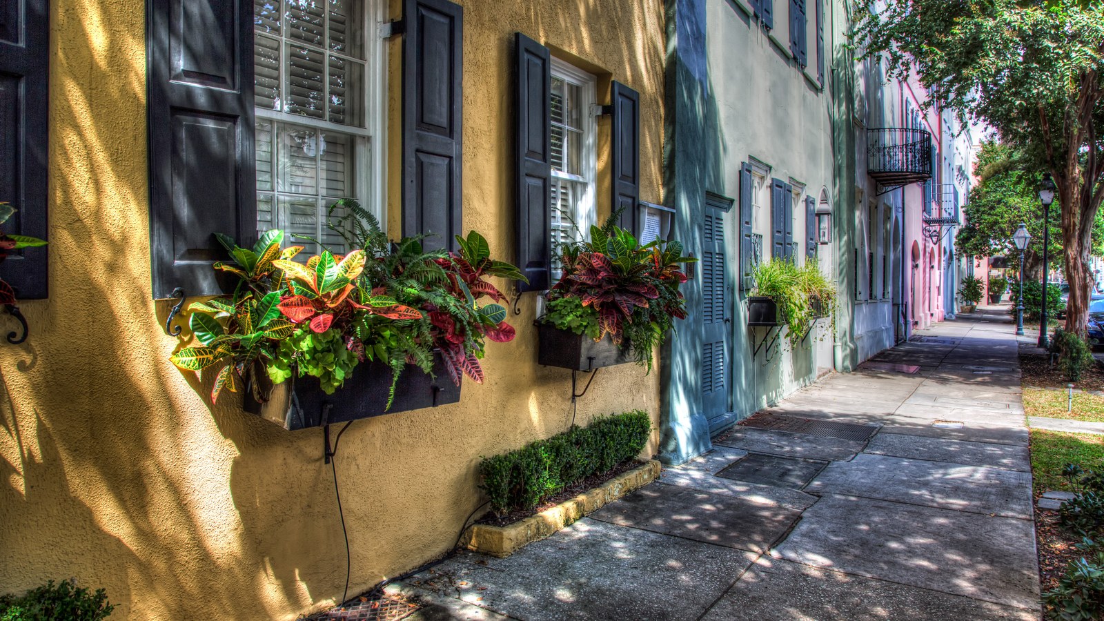
The single event that most shaped today's streetscape was the Great Fire of April 27, 1838, which burned more than 1,000 buildings and caused an estimated $3 million in damage -- destroying roughly a quarter of the commercial district, including part of the City Market complex first raised in 1790 on land donated for a "Centre Market." The city rebuilt largely in Greek Revival and Gothic Revival styles, the architectural register Rainbow Row and the rest of the historic district are known for today (Wikipedia). Nearly a century later, that same irreplaceable building stock is why Charleston passed the country's first historic-preservation zoning ordinance, adopted October 19, 1931, creating the Board of Architectural Review and the Old and Historic District that now protects more than 4,800 buildings citywide (Preservation Society of Charleston).
The City of Charleston's own 2025 estimate puts the city at 165,318 residents, up from 150,227 at the 2020 Census and 120,083 in 2010 (City of Charleston). The historic peninsula covered by this guide -- the French Quarter and South of Broad -- spans roughly 8.0 square miles of that total, a denser, far older slice of the city than its newer, more suburban districts.
Home values in Downtown Charleston
RealtyTrac's own market data for ZIP 29401 put the median listing price at $2.6 million as of July 2026, up 46.34% year-over-year, while the median SOLD price for the same stretch was $1.1 million, down 24.42% -- a gap that reflects how thin and volatile the closing sample gets at this end of the market (a handful of unusually high- or low-priced sales can swing a monthly median) rather than a clean read on where prices are actually heading (RealtyTrac). Walk Score puts ZIP 29401's own walkability at 93, a "Walker's Paradise," far above Charleston's citywide average of 40 (Walk Score). South Carolina taxes an owner-occupied primary residence at a 4% assessment ratio and everything else -- second homes, rentals, most LLC-owned property -- at 6%; every property defaults to the 6% rate when it changes hands, and a new owner has to file for the legal-residence exemption to get to 4% (Nat Wallen). That assessed value is then multiplied by the local millage rate rather than a flat statewide percentage, so the actual bill varies block to block; South Carolina's statewide average effective property tax rate on owner-occupied housing is 0.49%, well below the national average, alongside a 6.00% state sales tax (7.49% average combined with local option taxes) and a graduated income tax topping out at 5.21% (Tax Foundation). Dominion Energy is the electric and gas utility across the peninsula; water and sewer come from Charleston Water System, the city's Commissioners of Public Works (Charleston's Finest).
Evenings and weekends
Downtown's after-hours life runs the length of King Street, which the Charleston Post and Courier counts at more than 70 restaurants, bars, and clubs -- and the street reads as three distinct stretches rather than one strip: Lower King is antiques and historic-decor dealers, Middle King is fashion boutiques and national retail, and Upper King is the real nightlife corridor after dark, with craft-cocktail bars, live-music venues, and late-running restaurants (Post and Courier, Trolley Tours). The Charleston City Market -- open-air sheds first raised around 1790 on land donated for a "Centre Market," rebuilt more than once after the 1838 fire, a 1938 tornado, and Hurricane Hugo in 1989 -- runs daily a few blocks over, now selling souvenirs and Gullah sweetgrass baskets rather than the beef and produce it was built for (Wikipedia). CARTA's free DASH trolley, launched in 2019, connects the Market and King Street corridor to the rest of the peninsula on three routes, so a car isn't necessary for a typical evening out here. Two citywide arts festivals fill downtown's theaters, churches, and public spaces each year: Spoleto Festival USA, founded in 1977 by composer Gian Carlo Menotti, runs 17 days each late spring with more than 150 performances spanning opera, dance, theater, and music, while its companion festival Piccolo Spoleto -- run since 1979 by the City of Charleston's own Office of Cultural Affairs -- adds several hundred more performances spotlighting local and regional artists and closes with a free concert in Hampton Park (Wikipedia). Late September into early October brings the MOJA Arts Festival, an eight-day celebration of Black arts, culture, and heritage produced jointly by the nonprofit MOJA Arts and the city's Office of Cultural Affairs -- 2026's programming centers on Barbados, Gullah Geechee, Jamaica, and Sierra Leone traditions across music, food, and artisan vendors (MOJA Arts Festival).
Getting around
ZIP 29401's Walk Score of 93 makes downtown the most walkable address in the metro by a wide margin over the citywide 40 (Walk Score). DASH's three free trolley lines cover the peninsula -- Orange (College of Charleston and the SC Aquarium), Green (Meeting and King Streets plus the Medical District), and Purple (Waterfront Park and the Charleston Museum via Lockwood and Calhoun) (CARTA) -- and MUSC Health University Medical Center, an 865-licensed-bed hospital at 171 Ashley Ave founded in 1824 and rebuilt in phases since 2008, sits directly on the peninsula rather than requiring a drive out (Wikipedia). Flooding, not distance, is what actually complicates getting around: NOAA's own tidal-gauge count for the Charleston peninsula rose from roughly 2 nuisance-flood days a year in 1950 to 25 days a year by 2014, and the agency projects 60 days a year by 2051 -- the city and county have put more than $240 million into drainage upgrades so far, which NOAA's own researchers say won't be enough on its own to keep pace with the rate of sea-level rise (NOAA). The South Carolina coast, Charleston included, logged a record 89 tidal-flood days in 2019 (Post and Courier).
Downtown Charleston FAQ
Is downtown Charleston walkable?
Yes -- ZIP 29401, covering the French Quarter and South of Broad, scores 93 on Walk Score, a "Walker's Paradise" and the single most walkable ZIP code anywhere in Charleston, far above the citywide average of 40. CARTA's free DASH trolley also covers the peninsula on three routes.
What caused the 1838 Great Fire, and how did it shape downtown?
A fire on April 27, 1838 burned more than 1,000 buildings and caused an estimated $3 million in damage, destroying roughly a quarter of the commercial district. The city rebuilt largely in Greek Revival and Gothic Revival styles, establishing the architectural character Rainbow Row and the rest of the historic district are known for today.
Does downtown Charleston flood?
Yes, regularly -- NOAA's own tidal-gauge count for the Charleston peninsula rose from about 2 nuisance-flood days a year in 1950 to 25 days a year by 2014, and projects 60 days a year by 2051. The South Carolina coast logged a record 89 tidal-flood days in 2019.
Is downtown Charleston at risk of a major earthquake?
Yes, though infrequently -- the magnitude 6.9-7.3 earthquake of August 31, 1886 killed 60 people and damaged roughly 2,000 buildings, and USGS-informed estimates put the recurrence interval for an equivalent event at every 500-600 years. It remains one of the largest earthquakes ever recorded on the U.S. East Coast.
What's the deal with Charleston's 4% and 6% property tax rates?
South Carolina assesses an owner-occupied primary residence at 4% of its value and everything else -- second homes, rentals, most LLC-owned property -- at 6%. Every property defaults to the 6% rate when it changes hands; a new owner has to file for the legal-residence exemption to get to 4%.
Who lives downtown, and how many people live in Charleston overall?
The City of Charleston's own 2025 estimate puts the city at 165,318 residents, up from 150,227 at the 2020 Census. The historic peninsula this guide covers spans roughly 8.0 square miles of that total -- a much denser slice than the city's newer, more suburban areas.
Nearby alternatives*We're not ranking these — every place has real trade-offs, and which ones matter is up to you.
West Ashley
Just across the Ashley River bridges -- Charleston's largest suburb by population, with older mid-century subdivisions alongside newer growth toward the Stono River.
Mount Pleasant
Across the Cooper River via the Arthur Ravenel Jr. Bridge -- the metro's largest and most affluent suburb, with its own Old Village and Shem Creek waterfront.
North Charleston
Up the peninsula via I-26 -- the MSA's most populous single city, anchored by the port, Joint Base Lindsey Graham, and Boeing's South Carolina campus.
See what makes Charleston stand out — verified, named medical, dietary, sports, and other specialty resources you won't find in most metros.
Explore Specialty Resources →