James Island, SC
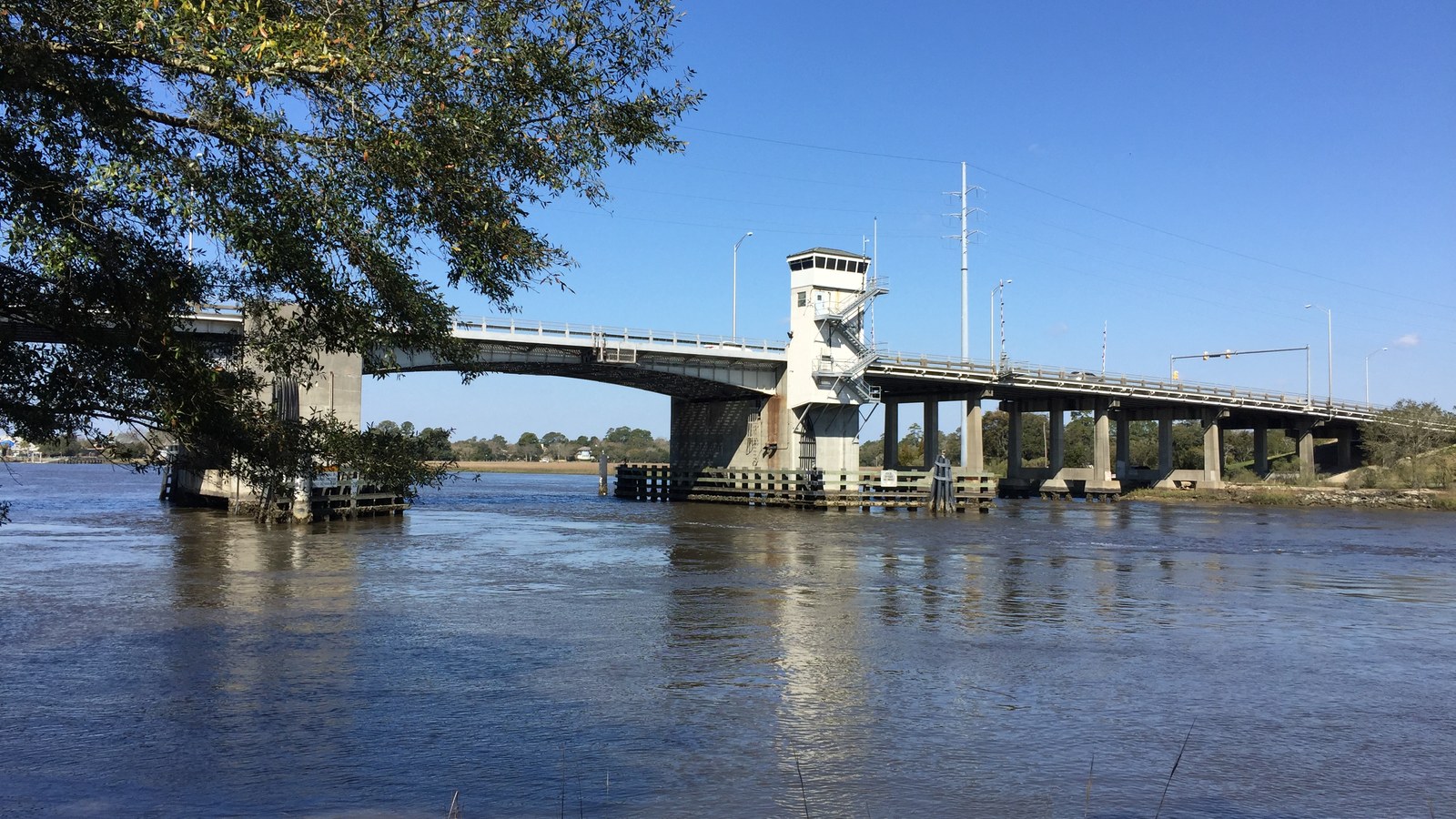

What James Island is actually like
James Island's oldest institution is a fort, not a town. Fort Johnson has guarded the harbor's south side since at least 1708, built up as the colony's primary defense there, and Patriots under Colonel William Moultrie raised South Carolina's own liberty flag at the site in 1775 -- a design that became the basis of the modern state flag (American Battlefield Trust). The island itself spent its next century and a half as Sea Island cotton country, worked by enslaved labor on plantations that only gave way to suburban subdivisions after World War II (Wikipedia).
Fort Johnson's defining moment came on April 12, 1861: at about 4:30 in the morning, Confederate Captain George S. James ordered Lieutenant Henry S. Farley to fire a 10-inch mortar shell toward Fort Sumter, the signal shot that told every Confederate battery in the harbor to open fire and the opening act of the Civil War (American Battlefield Trust; Charleston Confederate Centennial Commission marker, dedicated April 12, 1961). Three more Civil War engagements followed on the island -- Secessionville in 1862, Grimball's Landing in 1863, and Grimball's Causeway in 1865 -- and today only eroded Confederate earthworks and an intact 1765 powder magazine remain at the fort site, listed on the National Register of Historic Places since 1972 (Wikipedia; HMDB.org).
How James Island is governed is still an open question. Roughly half of the geographic island sits inside Charleston's city limits; the rest is the separately incorporated Town of James Island, whose current government only stuck on a fourth attempt -- the first incorporation, effective January 8, 1993, was followed by two more (2002 and June 2006) that Charleston successfully challenged in court, most notably in the South Carolina Supreme Court's 2011 Cabiness v. Town of James Island decision, before a fourth incorporation succeeded on April 24, 2012 (Wikipedia; Justia). The Town's own population -- 12,660 residents per the Census Bureau's July 2025 estimate, up from 11,621 at the 2020 Census -- covers only its own limits, not the whole island, and the boundary fight hasn't stopped: Charleston City Council was still voting on new James Island annexation requests as recently as December 2025 over resident objections about flooding and traffic, while the Town continues asking the state legislature for a path to annex unincorporated island parcels back into its own limits (U.S. Census Bureau; Post and Courier; Town of James Island).
Home values in James Island
RealtyTrac's own data for ZIP 29412 puts the median listing price at $685,000 as of July 2026, up 4.66% year-over-year from $654,500 in August 2025, while the median SOLD price was $594,500, up 2.53% year-over-year from $579,800 -- a gap typical of ZIP-level medians with a thin monthly sale count (RealtyTrac). Walkability is a real trade-off here: James Island's own Walk Score is just 8 out of 100, a "Car-Dependent" rating, far below Charleston's own citywide average of 40 (Walk Score). South Carolina assesses an owner-occupied primary residence at 4% of its value and everything else -- second homes, rentals, most LLC-owned property -- at 6%, multiplied by a local millage rate that varies block to block; see this market's own property-tax page for the current numbers. Dominion Energy is the electric utility across the island (utilitiesformyhome.com). Charleston Water System typically supplies drinking water in the area, while the James Island Public Service District -- created by Act No. 498 of the 1961 South Carolina General Assembly -- separately handles wastewater, fire and rescue, and solid waste for roughly 13,000 wastewater customers across the Town, the unincorporated island, and parts of Charleston and Folly Beach; confirm the exact provider mix for a specific address (JIPSD).
Evenings and weekends
James Island doesn't have a single commercial strip the way the peninsula has King Street -- Folly Road, the corridor linking the Connector to Folly Beach, carries most of the island's restaurants and shops instead. James Island Charter High School, at 1000 Fort Johnson Road, is the only high school in Charleston County School District offering the full International Baccalaureate diploma program, and its notable alumni include NFL wide receiver Roddy White and defensive lineman Langston Moore (James Island Charter High School; Wikipedia). The island's better-known residents by name include Stephen Colbert, who lived on James Island for part of his childhood alongside his ten siblings, and Samuel Smalls, the real Charleston street peddler DuBose Heyward's novel Porgy (and the opera Porgy and Bess) drew on -- he's buried at James Island Presbyterian Church (Wikipedia). Fort Johnson itself, where the mortar that opened the Civil War once stood, now carries only eroded earthworks and an intact 1765 powder magazine, with the College of Charleston's Grice Marine Laboratory occupying the surrounding grounds today (HMDB.org).
Getting around
James Island's own Walk Score is 8 out of 100, a "Car-Dependent" rating -- almost every errand here requires a car, unlike the walkable peninsula across the water (Walk Score). The James Island Connector (SC-30), a 3.05-mile freeway that opened September 4, 1993, runs from SC-171 on the island directly to US-17 in downtown Charleston, giving James Island a route off the island that doesn't require crossing a drawbridge (Wikipedia). Flooding, more than distance, is what actually complicates getting around: James Island Creek regularly overtops Central Park Road between Riverland Drive and Fleming Road at high tide, a problem on record since at least 2015 on a road that carries roughly 7,800 vehicles a day as an alternate route to I-526 for Johns Island residents. Charleston County awarded a $2.7 million contract to Truluck Construction in February 2025 to raise the road two feet and add three pipes with tidal gates and valves, with construction running from summer 2025 to summer 2026 and the goal of eliminating flooding through a 25-year storm event (Post and Courier).
James Island FAQ
Is James Island its own town, or part of Charleston?
Both, genuinely -- roughly half of the geographic island sits inside Charleston's city limits, while the rest is the separately incorporated Town of James Island (12,660 residents per the Census Bureau's July 2025 estimate) plus remaining unincorporated Charleston County land. The Town's current incorporation only stuck on its fourth try, in 2012, after three earlier incorporations were struck down in court; both the Town and the City are still pursuing new annexations today.
What happened at Fort Johnson on April 12, 1861?
At about 4:30 a.m., Confederate Captain George S. James ordered Lieutenant Henry S. Farley to fire a signal mortar shell from Fort Johnson toward Fort Sumter across the harbor -- the shot that opened the Civil War. Only eroded earthworks and an intact 1765 powder magazine remain at the site today.
Does James Island flood?
Yes -- James Island Creek regularly overtops low-lying roads like Central Park Road at high tide, a problem documented since at least 2015. Charleston County awarded a $2.7 million contract in February 2025 to raise the road two feet and add tidal control pipes, targeting protection through a 25-year storm event by summer 2026.
Is James Island walkable, or do you need a car?
You need a car. James Island's Walk Score is just 8 out of 100, a "Car-Dependent" rating, well below Charleston's own citywide average of 40.
What school district serves James Island?
Charleston County School District. James Island Charter High School, at 1000 Fort Johnson Road, is the only high school in the district offering the full International Baccalaureate diploma program; confirm the exact zoned elementary and middle school for a specific address via the district's attendance maps.
How's the commute from James Island to downtown Charleston?
The James Island Connector (SC-30), a 3.05-mile freeway that opened in 1993, runs directly from James Island to US-17 downtown without a drawbridge crossing -- roughly a 15-20 minute drive from central James Island outside peak hours, longer at rush hour since it's one of only a few routes on or off the island.
Nearby alternatives*We're not ranking these — every place has real trade-offs, and which ones matter is up to you.
Downtown Charleston
Across the James Island Connector -- the historic peninsula and the metro's walkable core, with Rainbow Row, the Battery, and the 1838 Great Fire's rebuilt streetscape.
Folly Beach
South down Folly Road -- Charleston's own beach city, incorporated separately in 1938, with a capped short-term-rental market and its own hurricane and renourishment history.
West Ashley
Across the Ashley River bridges from downtown -- Charleston's largest suburb by population, with older mid-century subdivisions alongside newer growth toward the Stono River.
See what makes Charleston stand out — verified, named medical, dietary, sports, and other specialty resources you won't find in most metros.
Explore Specialty Resources →