Hanahan, SC

What Hanahan is actually like
Before it was Hanahan, this stretch along the Goose Creek watershed was rice-growing land, and by the early 1900s it was a rail stop called Saxon, tied to the Goose Creek Reservoir and Saxon Pumping Station the private Charleston Light and Water Company completed in 1903 to supply Charleston's drinking water (South Carolina Encyclopedia). A hurricane damaged the reservoir's dam in 1916, disrupting the water supply, and in 1917 Charleston's Commissioners of Public Works -- chaired by James Ross Hanahan -- acquired the waterworks outright. The Saxon depot was renamed in his honor that same year, after a shipment of supplies was mistakenly routed to a similarly named stop in North Carolina (City of Hanahan).
The place that grew up around that renamed depot got its defining shape from military and postwar suburban growth rather than any single disaster: developer George S. Fishburne began the Highland Park subdivision in 1940, the U.S. Army established a depot in 1941, and in 1954 the Navy acquired land east of town for what became the Weapons Station Annex and Atlantic Polaris Missile Facility -- Cold War-era infrastructure whose descendant, Naval Weapons Station Charleston, still has land inside Hanahan's city limits today, alongside the Naval Consolidated Brig Charleston (City of Hanahan, Wikipedia). Those still-unincorporated communities voted 1,093 to 903 on September 21, 1973 to become the City of Hanahan, starting out with 11,408 residents and George C. Williams as its first mayor (City of Hanahan).
The U.S. Census counted 12,937 residents in 2000, 17,997 in 2010, and 20,325 at the 2020 Census -- with an estimated 22,415 by 2025 (City of Hanahan, Wikipedia). That growth is packed into a small footprint: 11.55 square miles total, of which 1.03 square miles is water, sitting entirely within the southern tip of Berkeley County, with the Goose Creek Reservoir still in the middle of the city (Wikipedia).
Home values in Hanahan
Redfin's own market data puts the median sale price in Hanahan at $428,785 over the three months ending July 2026, up 0.9% year-over-year (Redfin). Walk Score rates Hanahan 24 out of 100 citywide, "Car-Dependent" -- almost all errands require a car, which runs against any assumption that this is one of the metro's more walkable small suburbs (Walk Score). South Carolina taxes an owner-occupied primary residence at a 4% assessment ratio and everything else -- second homes, rentals, most LLC-owned property -- at 6%, the same statewide rule that applies in Berkeley County as everywhere else in South Carolina; every property defaults to 6% when it changes hands until a new owner files for the legal-residence exemption (Nat Wallen). That assessed value is then multiplied by the local millage rate rather than a flat statewide percentage, so the actual bill varies by taxing district; South Carolina's statewide average effective property tax rate on owner-occupied housing is 0.49%, well below the national average (Tax Foundation). Berkeley Electric Cooperative is Hanahan's primary electric provider, with the state-owned South Carolina Public Service Authority (Santee Cooper) also serving some Berkeley County customers directly; Charleston Water System supplies drinking water and Berkeley County Sanitation handles sewer (Utilities for My Home, City of Hanahan).
Evenings and weekends
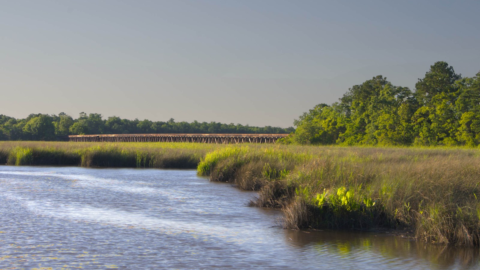
Hanahan's own after-hours options are limited -- this is a residential suburb, not a dining or entertainment district -- and the Goose Creek Reservoir at the center of the city, a roughly 100-acre body of water the city itself calls a park, is the closest thing it has to a defining public amenity, alongside Yeamans Park, completed in 1941 as one of the city's original neighborhood parks (Berkeley County Museum, City of Hanahan). Hanahan High School's Friday-night football at Wiley Knight Stadium, built through private donations after the school opened in 1958-59, is a genuine local institution rather than a marketing line (City of Hanahan). For restaurants, bars, and a denser commercial strip, residents mostly drive south into North Charleston's Park Circle area or into downtown Charleston itself rather than staying in Hanahan for the evening.
Getting around
Hanahan's citywide Walk Score of 24 is "Car-Dependent," and CARTA's fixed bus routes reach only the city's edges -- Route 10 (Rivers Avenue) and Route 12 (Upper Dorchester/Ashley Phosphate Road) run about a fifth of a mile and just over a mile, respectively, from a typical central Hanahan address rather than through the middle of the city (Walk Score). Interstate 26 runs along the city's western edge and is the route most residents use to reach the rest of the metro, including downtown Charleston -- roughly 12 miles away, typically a 20-25 minute drive via I-26 South, depending on peninsula traffic (City of Hanahan). Trident Medical Center, a 321-licensed-bed hospital at 9330 Medical Plaza Drive in North Charleston, opened in 1975 and is the nearest full-service hospital, a short drive south of the city (Wikipedia). Hanahan's own defining hazard story is the 1916 hurricane that damaged the dam at the Goose Creek Reservoir, which still supplies part of Charleston's drinking water today; check FEMA flood zone maps for a specific address, since risk varies by block and elevation across the low, flat Lowcountry terrain here (City of Hanahan).
Hanahan FAQ
Is Hanahan a good place to live?
It's a compact, mostly residential Berkeley County suburb that has grown steadily since incorporating in 1973 -- the U.S. Census counted 20,325 residents in 2020, up from 17,997 in 2010, with an estimated 22,415 by 2025. It's car-oriented rather than walkable, so most daily errands mean driving rather than walking.
Is Hanahan walkable?
Not especially -- Walk Score rates Hanahan 24 out of 100, "Car-Dependent," meaning almost all errands require a car. Two CARTA bus routes (10 and 12) run along Rivers Avenue and Ashley Phosphate Road near the city's edge, but there's no citywide transit network.
What county is Hanahan in?
Berkeley County, entirely. Hanahan sits at the county's southern tip, and its own city limits on the west and south run right along the line with Charleston County without crossing it.
Where does the name "Hanahan" come from?
From James Ross Hanahan, chairman of Charleston's Commissioners of Public Works, who acquired the area's Goose Creek Reservoir and Saxon Pumping Station in 1917. The rail depot here, previously called "Saxon," was renamed in his honor after a supply shipment was mistakenly routed to a similarly named stop in North Carolina.
Does Hanahan flood?
Its defining flood event is historical rather than tidal: a hurricane in 1916 damaged the dam at the Goose Creek Reservoir, which still sits in the middle of the city and supplies part of Charleston's drinking water today. Check FEMA flood zone maps for a specific address; risk varies by block and elevation.
What school district serves Hanahan?
Berkeley County School District, which operates Hanahan Elementary, Hanahan Middle, and Hanahan High School inside city limits. Confirm the zoned school for a specific address via the district's own attendance-boundary maps.
Nearby alternatives*We're not ranking these — every place has real trade-offs, and which ones matter is up to you.
Goose Creek
Directly north, also in Berkeley County -- the county's most populous city, incorporated in 1961, built up around the same Joint Base Lindsey Graham Weapons Station land that reaches into Hanahan.
North Charleston
Bordering Hanahan's south and west sides -- the Charleston MSA's most populous single city, anchored by the port, Joint Base Lindsey Graham, and Boeing's 787 assembly line.
Daniel Island
Across the Cooper and Wando rivers -- a master-planned community inside Charleston city limits where residential development began in 1996, now home to Credit One Stadium and the Volvo Car Open tennis tournament.
See what makes Charleston stand out — verified, named medical, dietary, sports, and other specialty resources you won't find in most metros.
Explore Specialty Resources →