Southpoint / South Durham, NC

What Southpoint / South Durham is actually like
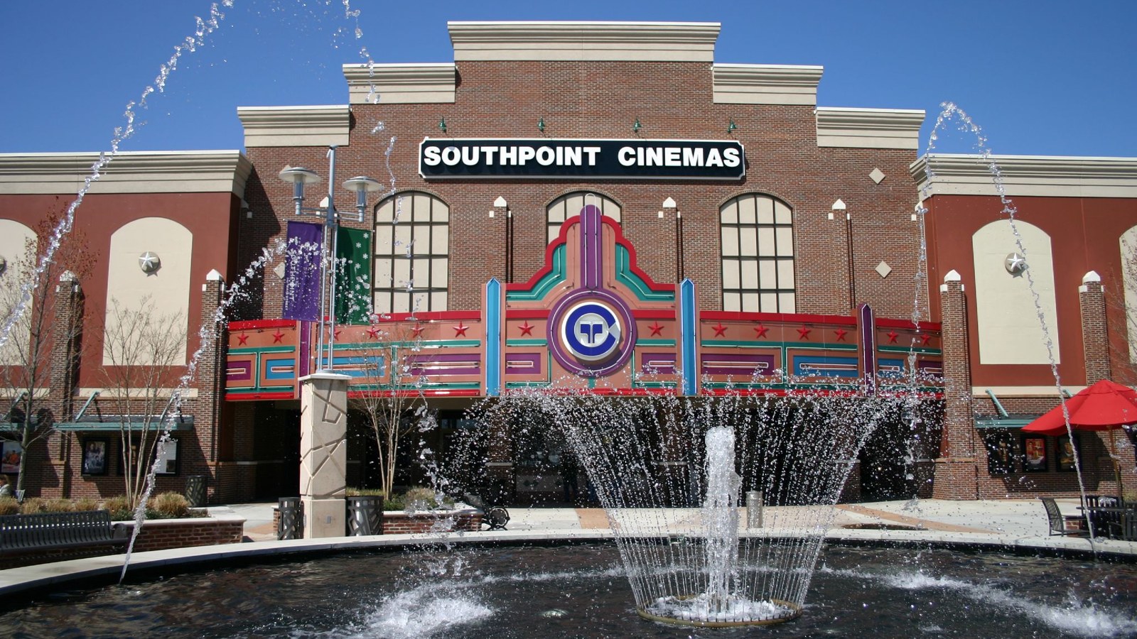
South Durham's modern shape follows its commercial anchor: The Streets at Southpoint, an open-air and enclosed shopping mall that has grown into one of the region's largest retail centers, drawing shoppers from across the Triangle.
Development has followed that retail draw along the NC-55 and I-40 corridors -- a mix of subdivisions, apartment complexes, and commercial buildout that makes South Durham overall a suburban, family-oriented submarket rather than a walkable urban district.
The area sits between Durham's core and Chapel Hill, roughly 15-20 minutes by car from either one via I-40 or 15-501, which has made it a practical landing spot for households who want mall-adjacent convenience without downtown Durham's density.
Home values in Southpoint / South Durham
Redfin puts the median sale price across the 27713 zip code (Southpoint/South Durham) at $425,000, down 2.4% year-over-year, and calls the local market "somewhat competitive" (Redfin).
Getting around
This is a car-oriented suburban corridor built around a mall and major roads -- it's not walkable in the way downtown Durham or Trinity Park are. GoDurham's fare-free buses reach the area, but a car is the practical way to get around day to day. The Triangle has no rail transit of any kind — no light rail, commuter rail, or subway. The Durham-Orange Light Rail project, which would have run through this sub-region, was cancelled in March 2019 after Duke University refused to grant a rail easement across its property (WUNC). Every transit option here is bus-only: GoDurham, GoTriangle, Chapel Hill Transit, and Orange County Public Transportation.
Southpoint / South Durham FAQ
Is Southpoint walkable?
No -- it's a car-oriented suburban commercial and residential corridor built around a mall and major roads, not a walkable district.
How far is Southpoint from Duke or downtown Durham?
Roughly 15-20 minutes by car via I-40. Chapel Hill/UNC is a similar 15-20 minute drive via 15-501, since Southpoint sits roughly between the two.
Is flooding a concern in South Durham?
Third Fork Creek runs directly through the area, with its own USGS/NOAA stream gauge nearby -- low-lying, creek-adjacent parcels should be checked against FEMA flood maps. This is inland flash-flood risk, not coastal surge.
What's the main draw of living near Southpoint?
The Streets at Southpoint itself -- one of the region's largest shopping and dining destinations -- plus suburban subdivisions and apartments along the NC-55/I-40 corridor.
Nearby alternatives*We're not ranking these — every neighborhood has real trade-offs, and which ones matter is up to you.
Woodcroft
A master-planned community immediately adjacent, next to The Streets at Southpoint.
Research Triangle Park
The region's major office/research park, a short drive north via I-40.
Chapel Hill
The UNC-Chapel Hill college town, roughly 15-20 minutes away via 15-501.
See what makes Raleigh-Durham stand out — verified, named medical, dietary, sports, and other specialty resources you won't find in most metros.
Explore Specialty Resources →