Converse, TX
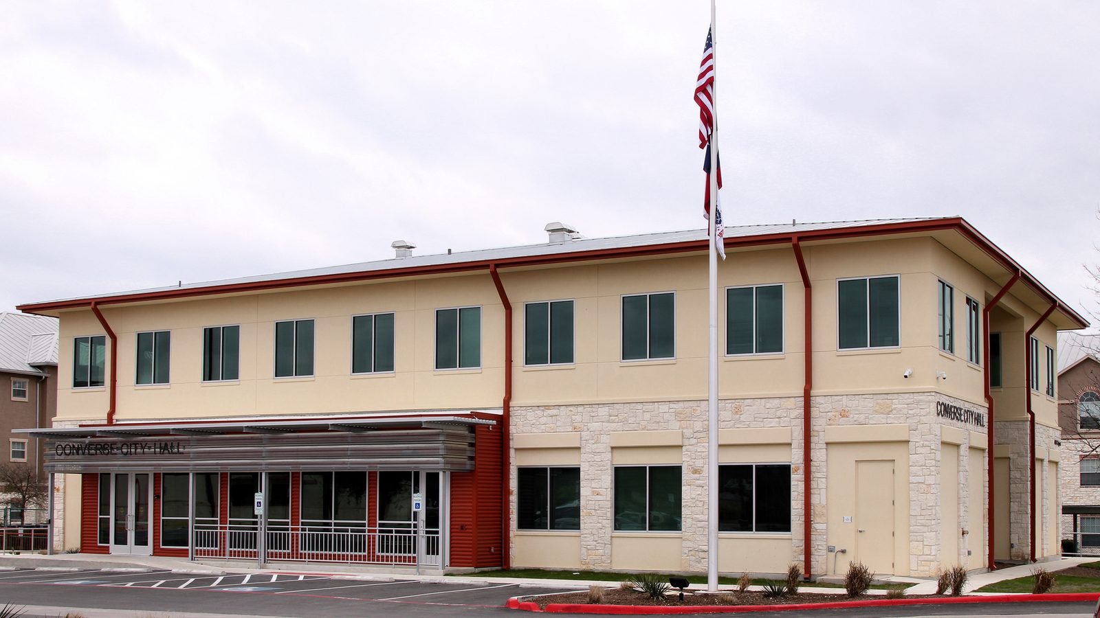

What Converse is actually like
Converse traces its name to 1877, when a Major Converse -- chief engineer of the Southern Pacific Railroad -- purchased a tract of land that included the future townsite; a post office followed in 1878. German farmers originally settled the area, organizing local institutions like the Salatrillo Liederkranz singing society. Growth was slow for decades: by 1896 the community supported a saloon, two cotton gins, and a grocery store on a small farm-and-rail settlement footprint.
Converse stayed a tiny rural community into the mid-20th century -- just 175 residents in 1946 and 900 in 1965 -- before San Antonio's eastward suburban expansion and the enduring presence of nearby Randolph Air Force Base began pulling in new residents. The city formally incorporated in 1961, and population then climbed steeply: 5,150 by 1980, 11,508 by 2000, 18,198 by 2010, and 27,466 at the 2020 Census.
Converse today is a working- and middle-class Bexar County suburb of roughly 27,000-30,000 residents, still adding new subdivisions. It's covered almost entirely by Judson ISD schools, served by CPS Energy and CenterPoint Energy utilities and the city's own municipal water system, and connected to downtown San Antonio via FM 78 and I-35 with VIA bus service as a real public-transit option -- something several of its Bexar County neighbors don't have.
Home values in Converse
Zillow tracks home values city-by-city, not for every neighborhood within a city — Converse is one of the pockets that doesn't get its own figure. Rather than publish a citywide number that might not reflect this specific part of town, we're leaving pricing out of this particular guide for now.
See what makes San Antonio stand out — verified, named medical, dietary, sports, and other specialty resources you won't find in most metros.
Explore Specialty Resources →Converse FAQ
How far is Converse from downtown San Antonio, and how do people commute?
Roughly 13-15 miles northeast. Most residents drive via FM 78 and I-35; VIA also runs bus service into the city, including a frequent route (Route 21) that stops in Converse.
Is Converse actually next to Randolph Air Force Base?
Not directly -- the base borders neighboring Universal City, which calls itself "The Gateway to Randolph AFB." Converse is a short drive away via FM 78, and many residents are Randolph-connected military families, but the base fence line sits in Universal City, not Converse.
What school district serves Converse?
Most of Converse is in Judson Independent School District, which also serves Kirby, Selma, and parts of Live Oak and Universal City. A southern slice of the city falls instead in East Central ISD, so it's worth checking the district for a specific address.
Does Converse flood a lot?
There's no well-documented history of a major flood disaster specific to Converse. It isn't situated directly on Salado Creek or Cibolo Creek, the two Bexar-area waterways with the most documented flood damage -- though buyers should still check FEMA's flood maps for the specific parcel.
What's the housing character like -- is it affordable?
Converse is generally positioned as one of the more affordable San Antonio-area suburbs, with a mix of established mid-century-to-1990s neighborhoods and newer subdivisions still under active construction.