Raytown, MO
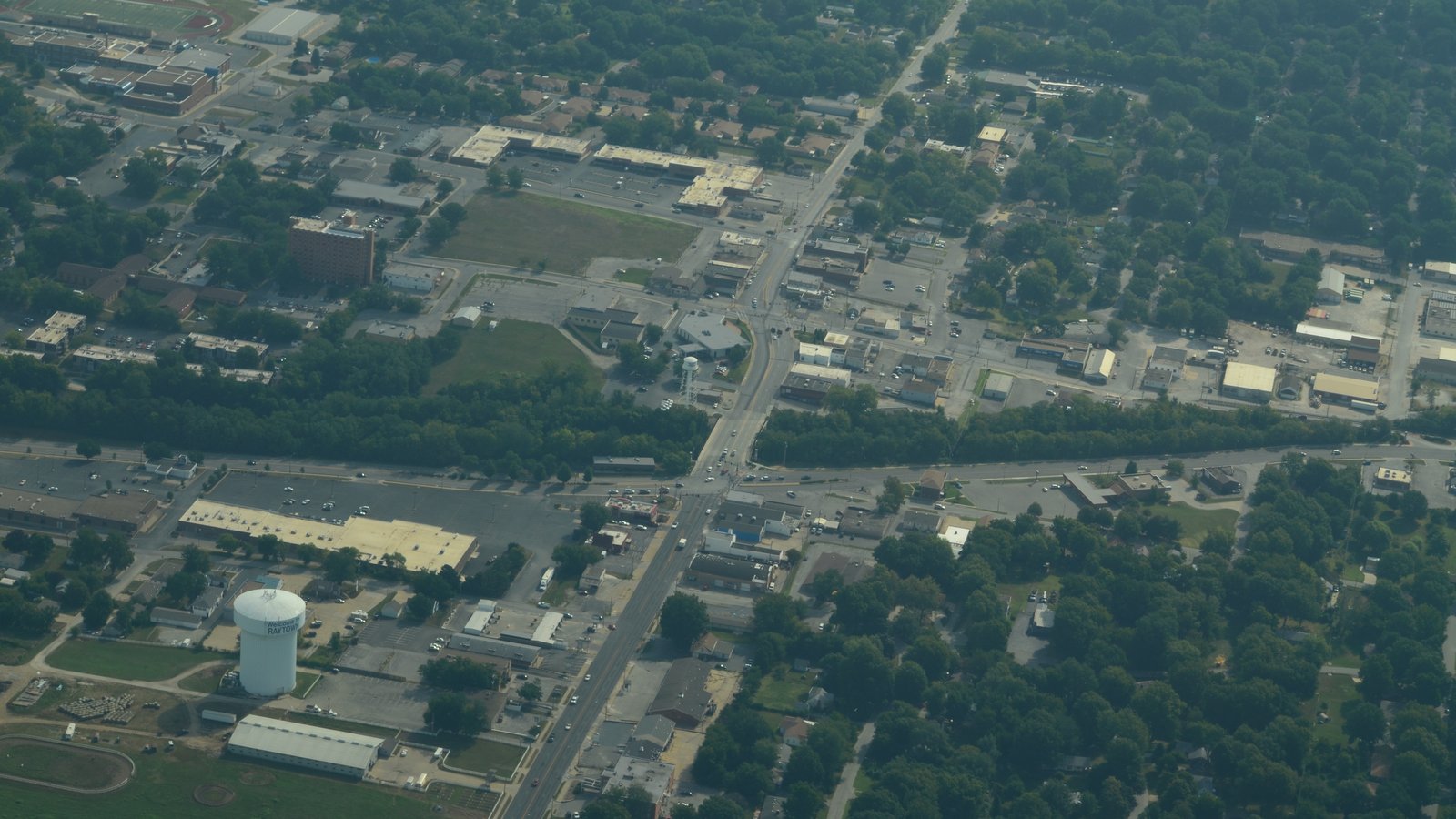

What Raytown is actually like
Raytown grew up around a blacksmith shop William Ray established on the Santa Fe Trail around 1848; the settlement was known first as "Ray's Town" and then "Raytown" by 1854, and the city's flag features an anvil to commemorate Ray's original trade, per Wikipedia's Raytown entry. Earlier pioneers had named the surrounding high, wooded ridge country "Blue Ridge" for its resemblance to the Blue Ridge Mountains back east, with the Big Blue and Little Blue rivers forming its borders, per the same source.
The Rice-Tremonti Home, built in 1844 directly on the Santa Fe Trail, still stands in Raytown today — one of the metro's tangible links to the overland-trail era that also shaped Independence, per Wikipedia.
Raytown recorded a population of 30,012 at the 2020 census across a compact 9.97 square miles — one of the smallest and most densely built cities in this cluster, per Wikipedia — bordered almost entirely by Kansas City, Missouri and Independence rather than open county land.
Home values in Raytown
The median home in Raytown sold for $224,887 over the three months ending July 2026, up 7.0% year-over-year, per Redfin's Raytown housing-market data. (Zillow's own ZHVI page could not be reached this session — see this file's module docstring.)
Evenings and weekends
Raytown's evenings-and-weekends scene runs through its parks system rather than a single downtown district: Little Blue Trace Park follows the Little Blue River along the city's eastern edge, and neighborhood parks like Sarah Colman-Livengood Park, C. Lee Kenagy Park and Henry C. Kritser Park are spread through the city, run by the city's own Parks and Recreation Department, per the City of Raytown's parks page. The 1844 Rice-Tremonti Home, on the historic Santa Fe Trail route, is Raytown's standout historic landmark and hosts occasional events of its own.
Getting around
Raytown is car-dependent like its neighbors — a citywide Walk Score of 28 out of 100 — with sidewalk coverage concentrated around its parks and a handful of commercial corridors rather than continuous across the city. Regional RideKC bus routes (see this file's shared utilities notes) reach into Raytown from Kansas City, but a car is still the practical way to get around day to day.
Raytown FAQ
How did Raytown get its name?
From a blacksmith shop William Ray established around 1848 on the Santa Fe Trail, first called "Ray's Town" and then "Raytown" by 1854, per Wikipedia's Raytown entry.
Is Raytown part of Kansas City, Missouri?
No — Raytown is its own small, independent Jackson County city, though it's almost entirely surrounded by Kansas City and Independence.
What school district serves Raytown?
Most of Raytown is zoned to the Raytown C-2 School District ("Raytown Quality Schools"), the city's own independent public district.
What's the nearest hospital to Raytown?
Research Medical Center, a 590-bed hospital a few miles northwest at 2316 E Meyer Boulevard in Kansas City, MO.
Nearby alternatives*We're not ranking these — every place has real trade-offs, and which ones matter is up to you.
Independence
Independence borders Raytown to the north, and the Raytown C-2 School District extends into southwestern Independence.
Lee's Summit
Lee's Summit lies southeast of Raytown along the same Little Blue River corridor that Raytown's Little Blue Trace Park follows.
Blue Springs
Blue Springs sits further east along the Little Blue River watershed from Raytown, both eastern Jackson County suburbs.
See what makes Kansas City stand out — verified, named medical, dietary, sports, and other specialty resources you won't find in most metros.
Explore Specialty Resources →